This from Chris Truty:
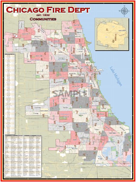
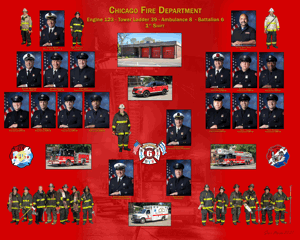
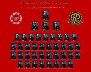
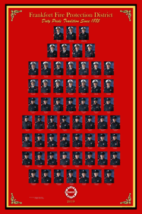
I’m looking for some input. I’m in the process of creating maps like these for various fire departments across the country. I’m looking to inquire if there may be a market for these kinds of maps. Some small amounts of customization (i.e. engines only, ambulances only, etc.) could be made but in general, I’m curious as to whether or not our industry would enjoy these maps. Cost could be $30-$50/ea since I’m not bulk printing yet. Any comments would be helpful.
CTChristopher Truty, MS
Fire Chief, Tri-Lakes Monument FPD









#1 by Chris Truty on January 24, 2019 - 8:58 AM
Thanks for the input. I’ll make the adjustment at O’Hare. The resolution of the map is high-resolution even though it’s not visible on the posted map on this site. The map currently can be printed out as high as 32″x48″ and the detail is such that at that resolution, the arterial street names are clearly readable. All of the fonts are very sharp. One for Denver will be coming up shortly too.
#2 by Bill Post on January 23, 2019 - 5:41 PM
There is a market for maps however there are a number out there already done by fire fans, and fire fan websites as well as some fire departments. Sometimes they are done by the local community’s mapping department. If you can do an accurate map that is easy to ready it would be nice. I notice the map is missing O’Hare Field and Station 4. Within the next year there will be a new Station 2 so that will have to be changed as well.
Here is a link to exactly what I am talking about when it comes to a Chicago Fire Department map.
http://www.chicago.fdmaps.com/
#3 by JR on January 23, 2019 - 2:34 PM
Your only as good as your last alarm… If the alarm did not include you looking at a map but using your cell phone then its hard to compete with technology. As for enjoyment…I think the industry would benefit from framing these in the station for reference. Nice job!!